Drone shots from Scotland – Loch Linnhe & the east coast
While the main blog posts cover our two-week route from ground level, taking to the air with the DJI Mini Pro 4 drone gave us a completely different perspective on the landscape. Framing these locations from a couple of hundred feet up reveals patterns in the coastline, tidal shifts, and terrain that you simply miss from the roadside.
You can head to the previous posts in this series using the following links
Part 1 Part 2 Part 3
Loch Linnhe – changing light across the water and the view from the drone
We were in Fort William for five nights next to Loch Linnhe a sea loch located on the west coast of the Scottish Highlands, and runs along the geological line of the Great Glen Fault. This meant we had a couple of opportunities to get the drone up over Loch Linnhe on different days and under completely shifting weather conditions.
The loch stretches for about 31 miles from the Sound of Mull and Firth of Lorn in the south-west up to Fort William at its north eastern tip, where it joins Loch Eil.
Picture set 1 shows the loch to be pretty calm with some wonderful views towards the town and a real mix of blue sky and moody dark grey, all of course in keeping with the changeable nature of weather in Fort William in October
Picture set 1
Click any image to open the picture set and click or scroll through


Picture set 2
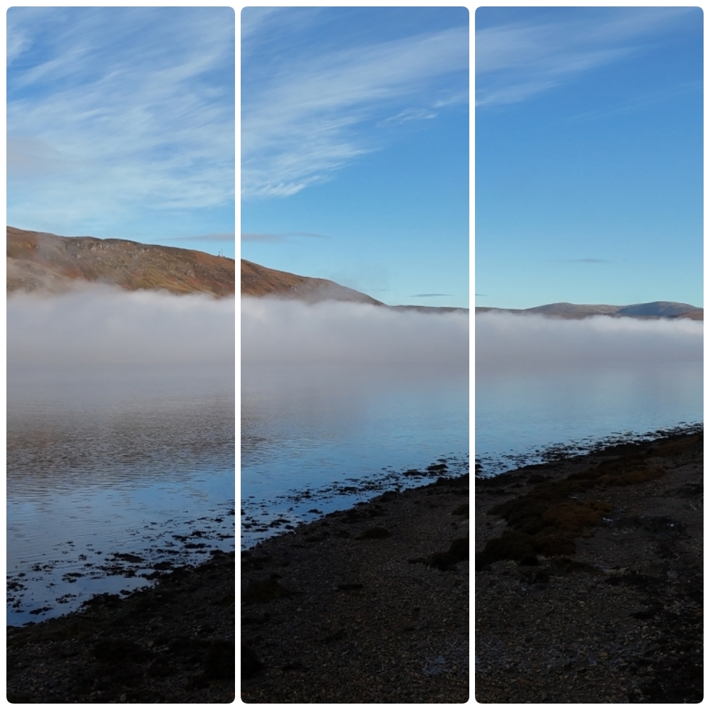
Same loch but looking quite different and pretty special on a morning like this. The low-hanging mist seems to cling to the hillsides and hover above water. I don’t know enough to describe what weather conditions need to prevail for this to happen, but I do know that when it does it just looks magnificent.
Click any image to open the picture set and click or scroll through


Catterline Bay: curving shingle beach and rugged cliffs the view from the drone
We really enjoyed our visit to Catterline Bay and it was a decent place to fly the drone from.
From the ground, Catterline is a crescent-shaped cove. From the air, you get a full appreciation of its horseshoe geometry.
Picture set 3
Click any image to open the picture set and click or scroll through


Mill of Uras and the Stonehaven coastline – view from the drone
The last set of Drone pictures were from our accommodation The Boathouse at the Kriek in Mill of Uras, along with the nearby coastal fringe just south of Stonehaven.
Picture set 4
Click any image to open the picture set and click or scroll through


